
Landscape Ecology Image Library
One of the founding fathers of landscape ecology, Carl Troll, started his explorations of spatial pattern and process through the use of aerial photography. More recently, imagery from satellites has become an important data source for landscape ecology investigation.
On the ground is where we live through our landscapes, it's where we view them from. But relating images from the ground to those from above may help people to better understand landscape structure and ecological function. This was the idea behind creating our Landscape Ecology Image Library.
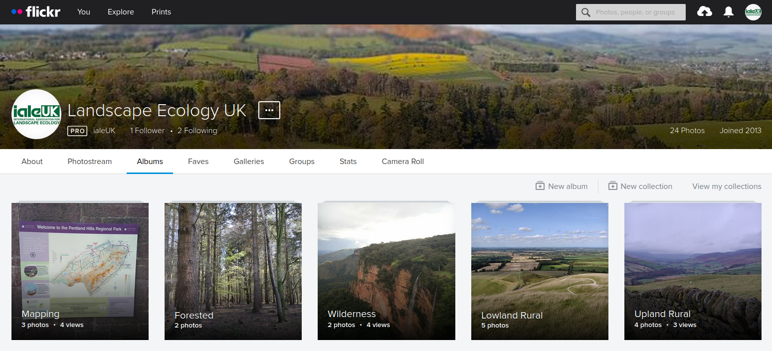
Screenshot of the Image Library, hosted on flickr
We see the library as a resource - complementary to other data sources - to help illustrate landscape ecology concepts, conceptualise processes, capture change, and exemplify typical landscapes. We'd love others to contribute their landscape ecology images too. If you have photos that relate to landscape ecology, you can read full details of how to contribute on our website.

Crops and livestock landscape in Wales. Credit: ialeUK/Caitlin Lewis 2023
By contributing your landscape images you can help to:
Exemplify types of landscapes including lowland rural, forested, seascape and others.
Illustrate landscape ecology concepts and tools, like mapping, pattern-process interactions and cultural landscapes.
Highlight particular components of landscapes, such as fields, walls, rockpools and more.
Portray organsims of interest in landscapes, whether cows, ponies, or something more exotic.
Or you can just share pictures of your favourite landscapes to show off their beauty, whether in the UK and the rest of the world. All images in the library will be freely available for anyone to share and adapt, under a Creative Commons CC-BY-SA licence. Do contribute!

Mountains on Skye. Credit: ialeUK/Vanessa Burton 2017